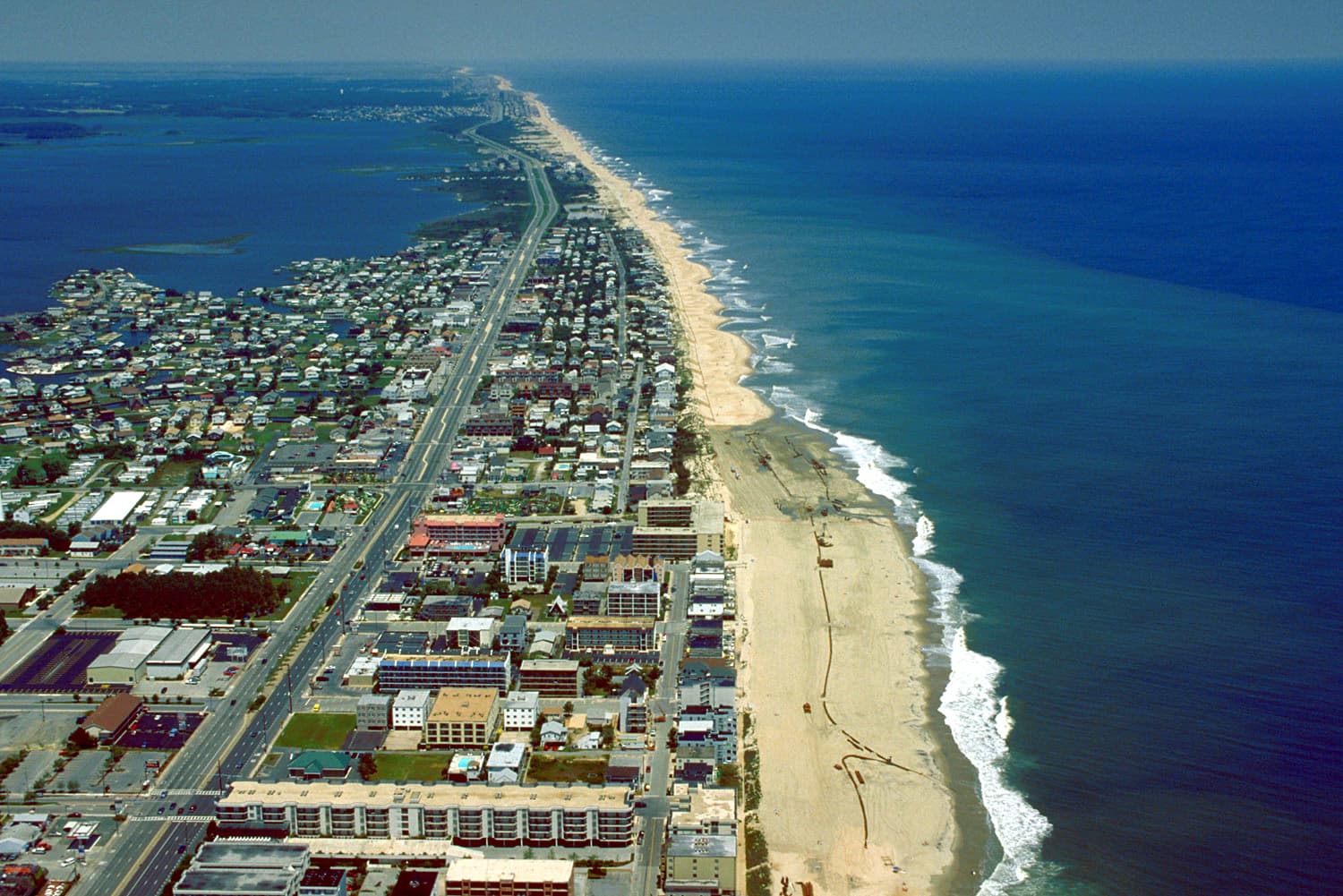
Beach replenishment, dunes, crossovers, fencing, and the Boardwalk seawall form one protection system.
Ocean City's shoreline is both a natural system and a maintained public work. In 1994, the State of Maryland, Worcester County, and the Town accepted operation and maintenance responsibility for the completed Atlantic Coast of Maryland Storm Protection Project.
The program includes periodic sand placement, dunes, planting, fencing, crossovers, and the seawall along the Boardwalk. Aerial views reveal the central tension of the island: dense development held between moving water on both sides.
Historical source
Town of Ocean City — Beach ReplenishmentThis is an editorial summary of verified history, written for an independent fictional portfolio demonstration.