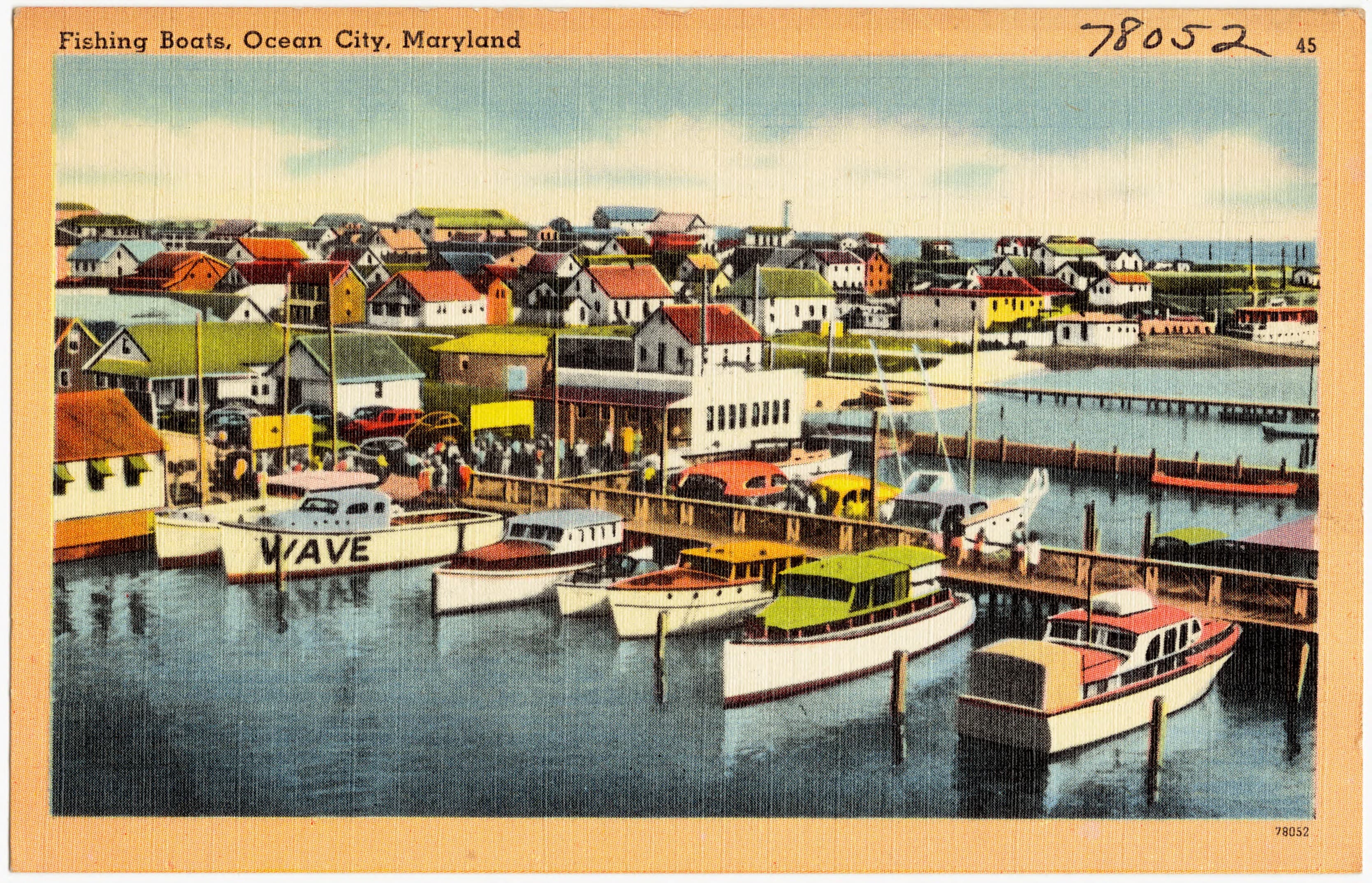
The new Inlet gave boats a direct route to sea and reshaped a long fishing tradition.
Fishing was part of Ocean City before resort tourism, but the 1933 Inlet changed its scale and route. Boats could reach the Atlantic without launching through the surf or remaining inside the bays.
The harbor postcards in this collection are records of infrastructure and labor: hulls, piers, rigging, water, and a town adapting quickly to a changed shoreline.
Historical source
Town of Ocean City municipal handbookThis is an editorial summary of verified history, written for an independent fictional portfolio demonstration.