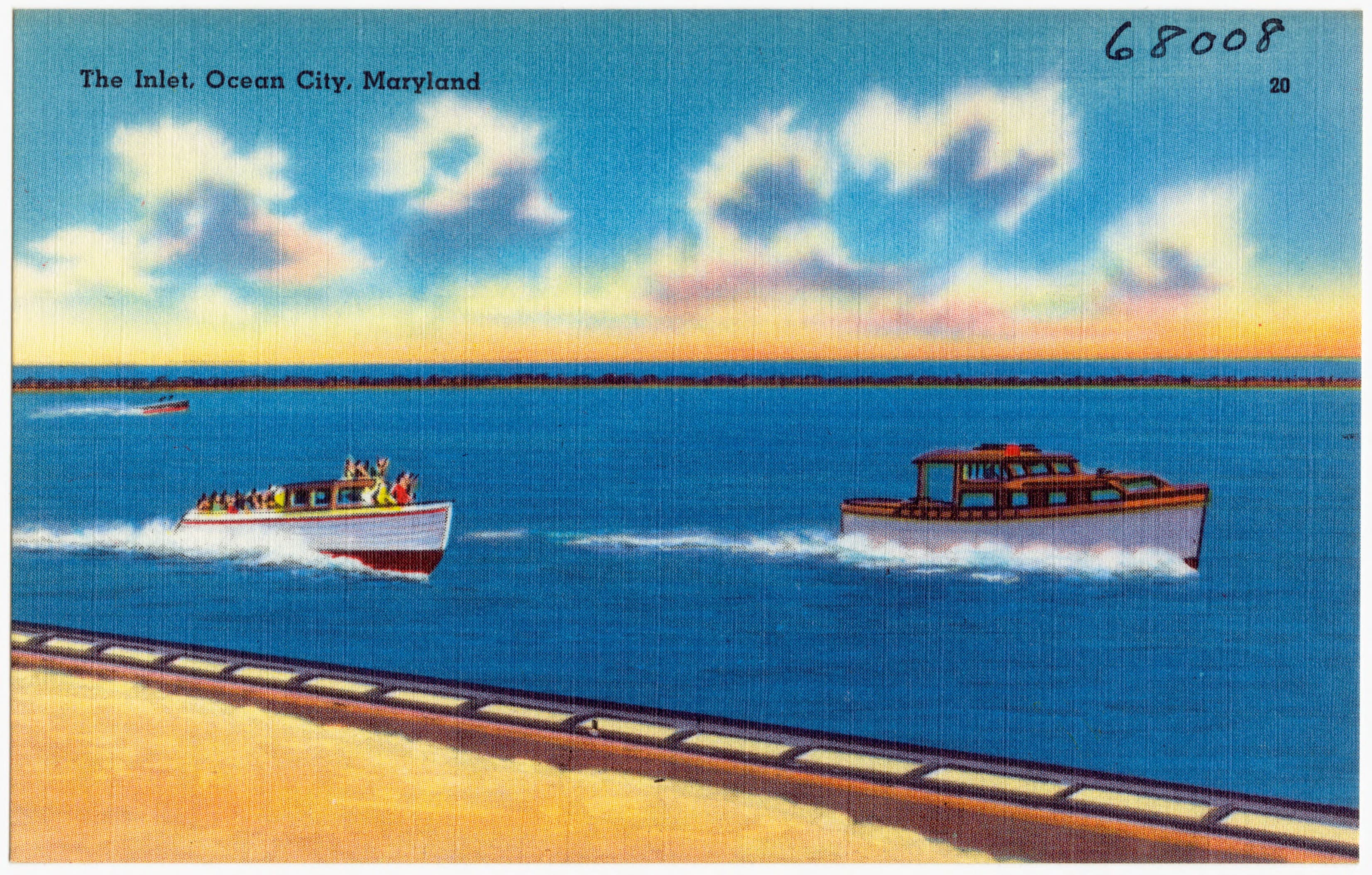
An August 1933 northeast storm cut a lasting passage between the ocean and bay.
A four-day northeast storm in August 1933 cut the present inlet between Ocean City and Assateague Island. Municipal planning records distinguish the event from a hurricane, even though later retellings often use that label.
The new passage changed work as well as geography. Direct access to the Atlantic helped sport fishing grow, while the damaged railroad connection hastened a broader shift toward automobile travel.
Historical source
Town of Ocean City comprehensive planThis is an editorial summary of verified history, written for an independent fictional portfolio demonstration.